Advanced Airborne intelligence &
Isr solutions
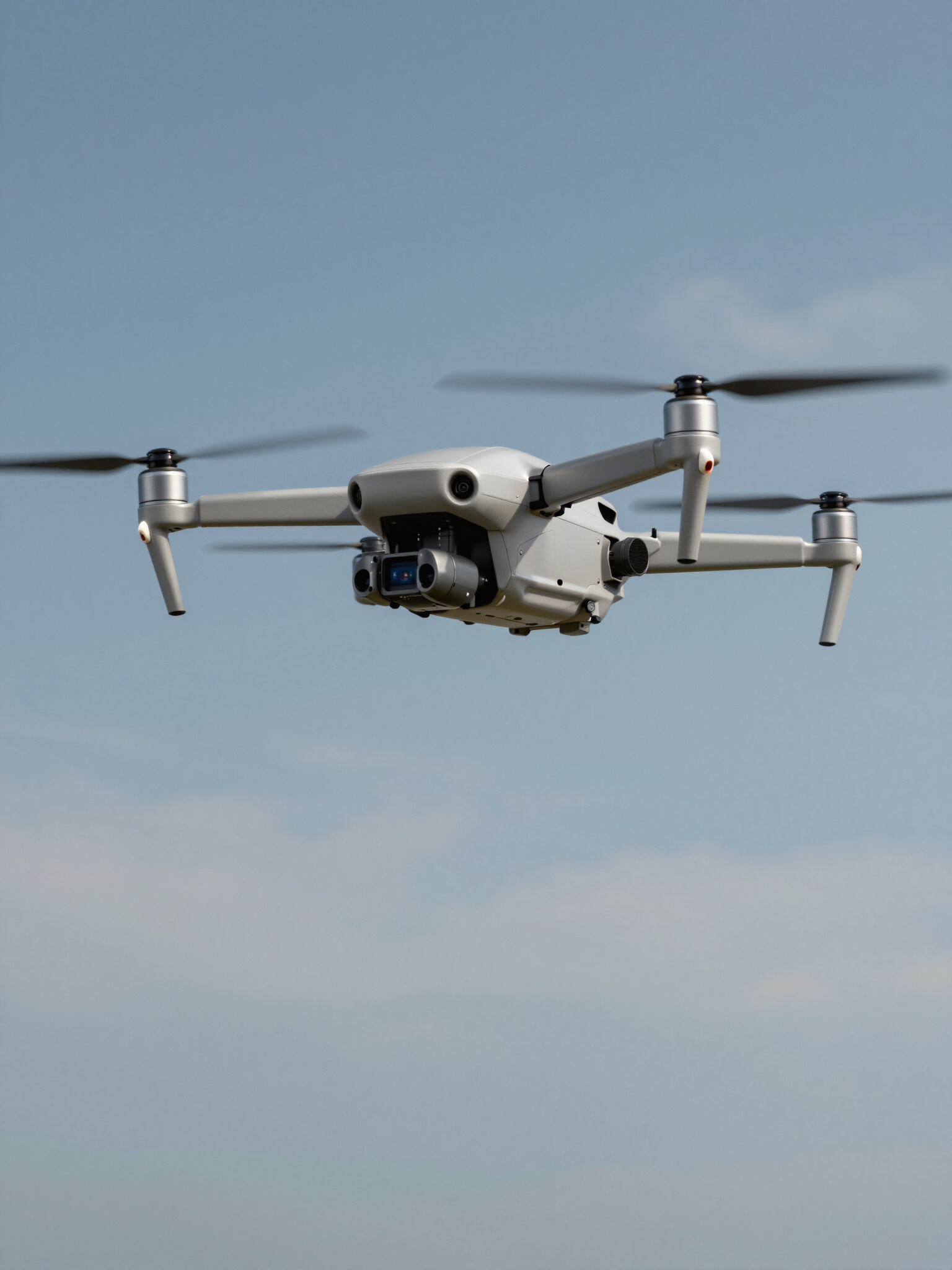
We provide specialized drone technology for aerial photography/video, surveying, reality capture, heat mapping and Group 2 military ISR. Delivering precision-driven results for military, construction, agriculture, surveying and environmental monitoring projects worldwide.
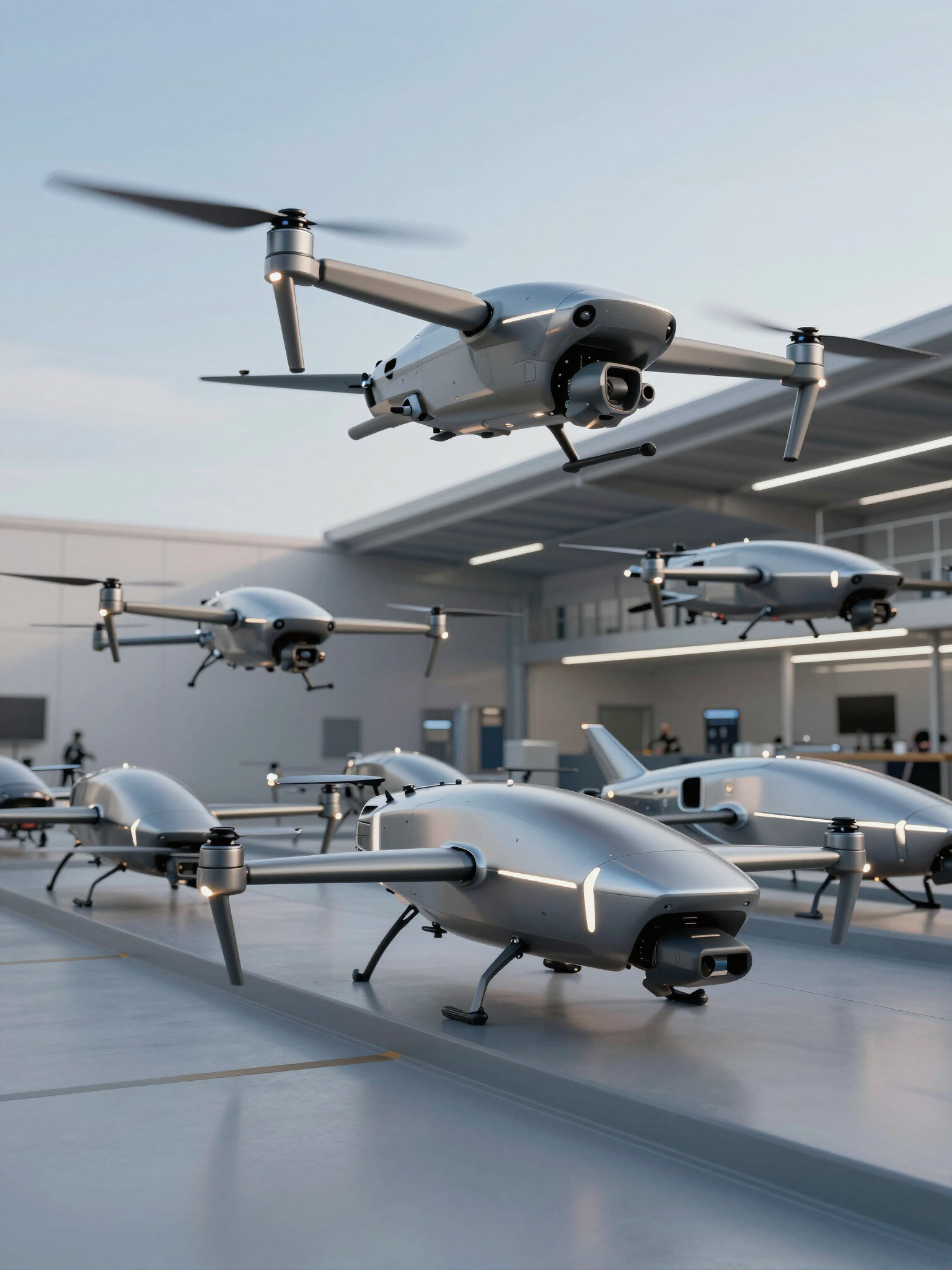
We provide unique drone solutions that leverage an innovative autonomous service that we call The Internet of Drones. This provides our customers with the ability to have a series of drones become a crew that leverages Autonomous Swarming Techniques (AST) to provide precision outcomes that independent drones cannot provide.
OUR SERVICES
01
AERIAL PHOTOGRAPHY &
VIDEO
We capture high-resolution cinematic visuals and technical imagery tailored for marketing and detailed project documentation.
02
PRECISION SURVEYING
Our team delivers accurate topographic maps and 3D digital twins, providing essential data for construction and land management.
03
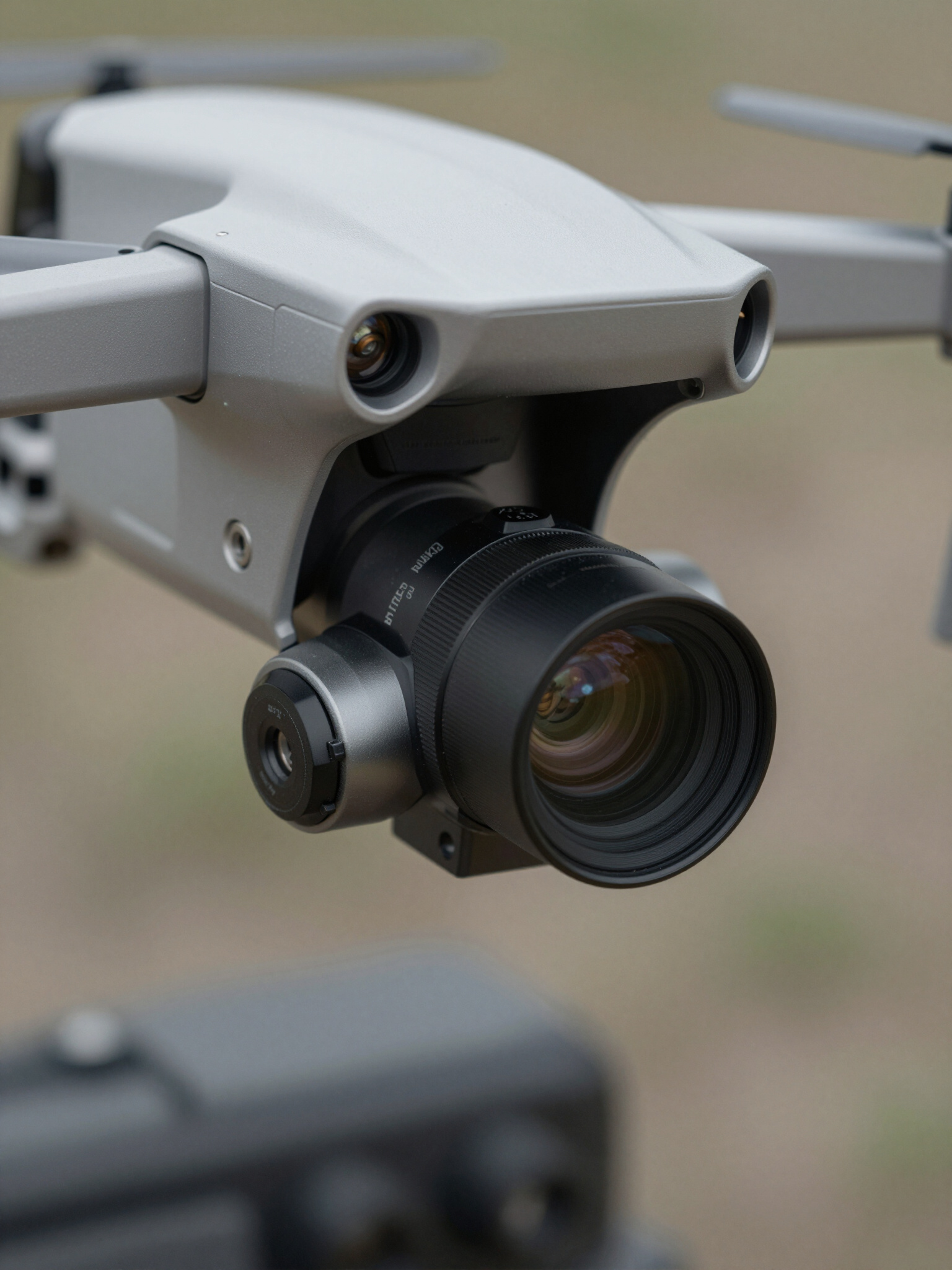
CRITICAL INSPECTION
Automated inspection services for industrial infrastructure, utilizing thermal and RGB sensors to detect structural anomalies.
04
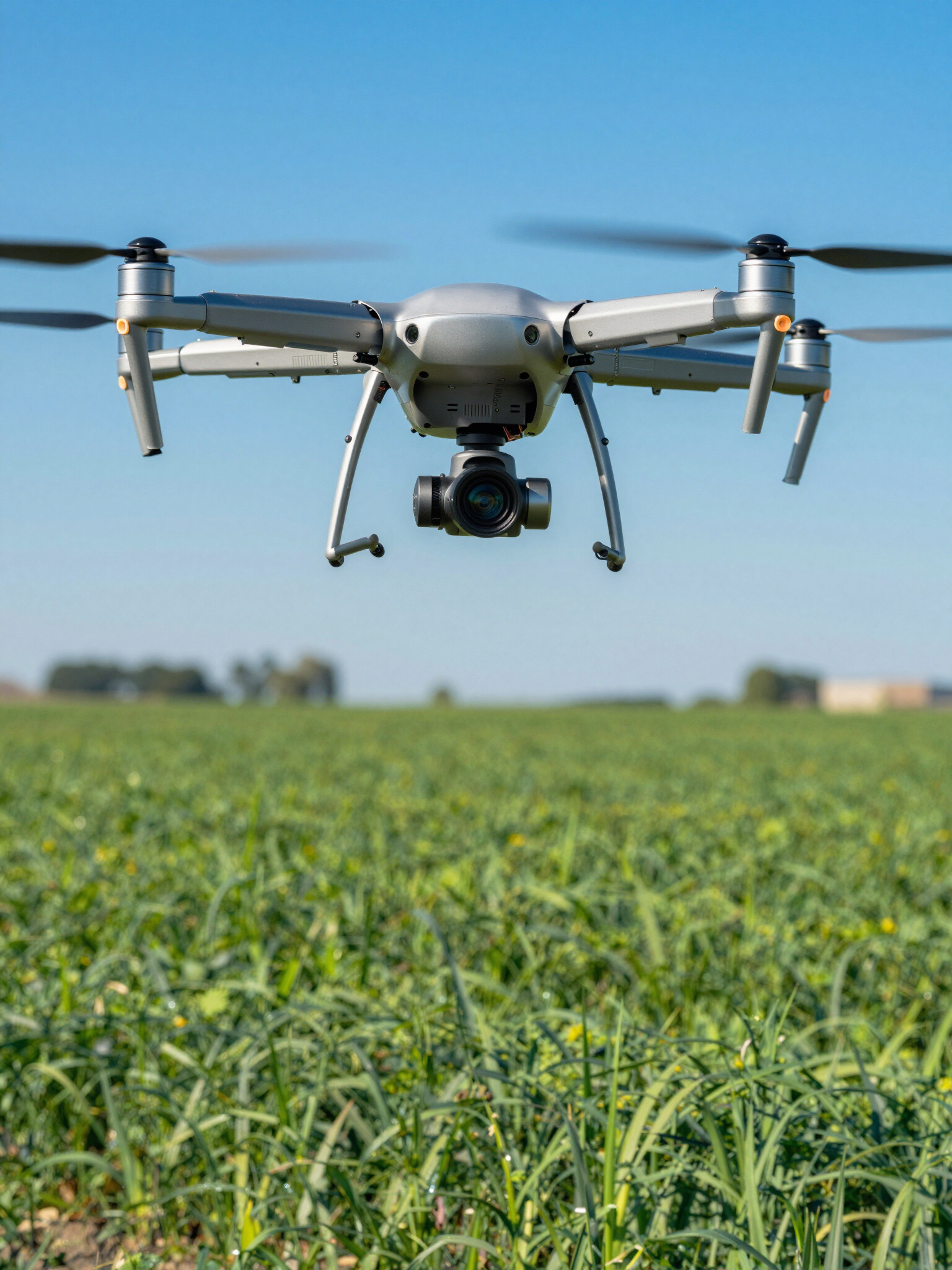
AGRICULTURAL ANALYSIS
Leveraging multispectral data to monitor crop health and optimize yield through precision-driven vegetation analysis.
05
ENVIRONMENTAL MONITORING
Specialized tracking of habitat changes and coastal erosion to support environmental conservation and research initiatives.
06
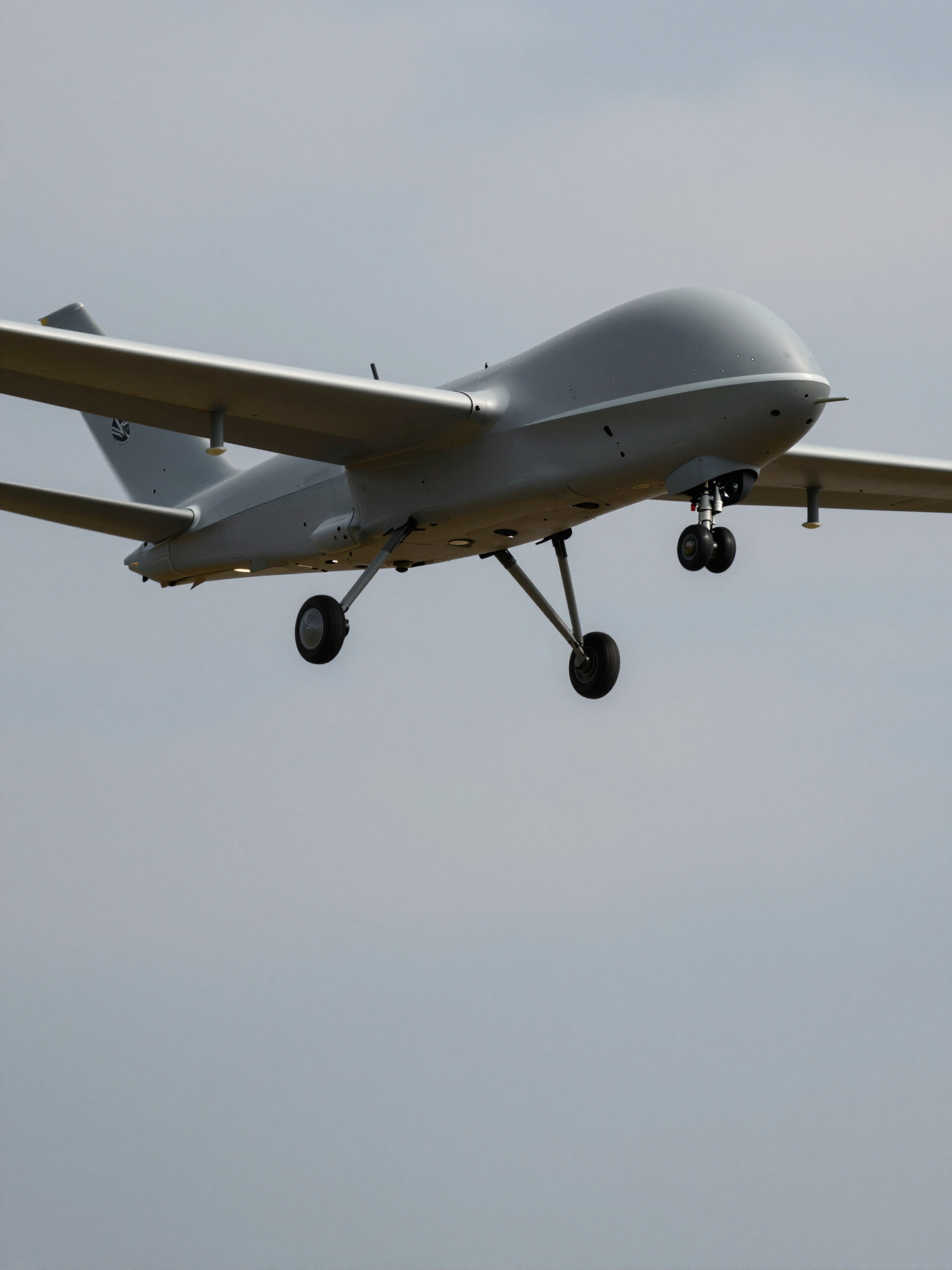
MILITARY ISR
Tactical intelligence, surveillance, and reconnaissance services utilizing Group 2 drone technology for situational awareness.
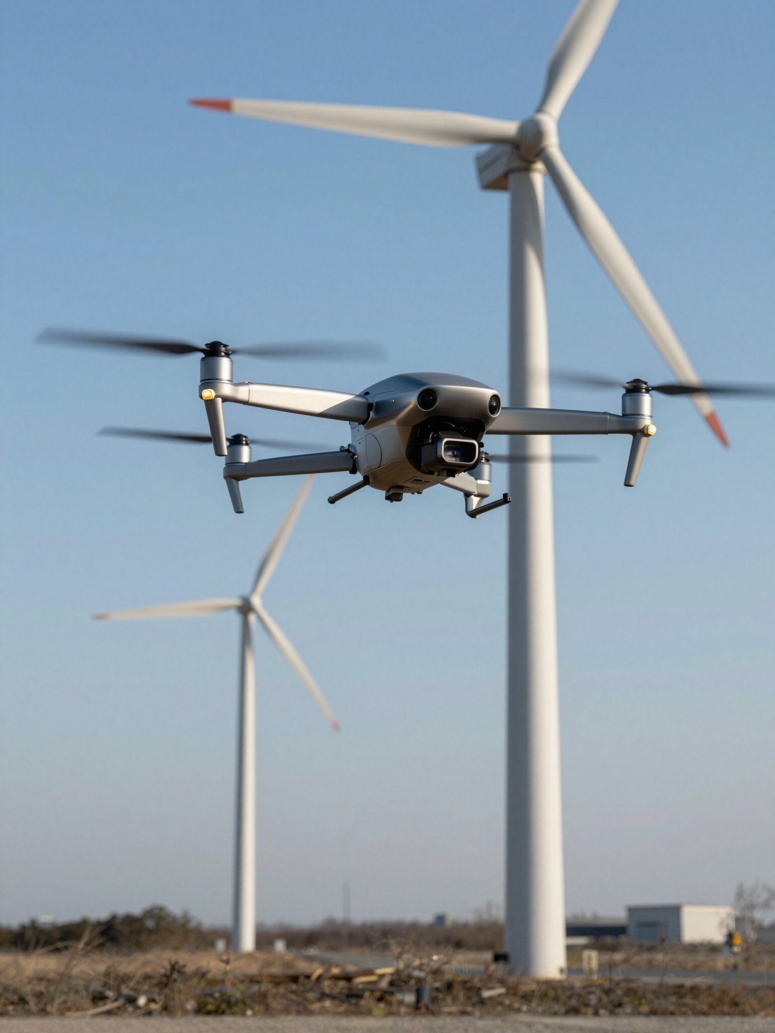
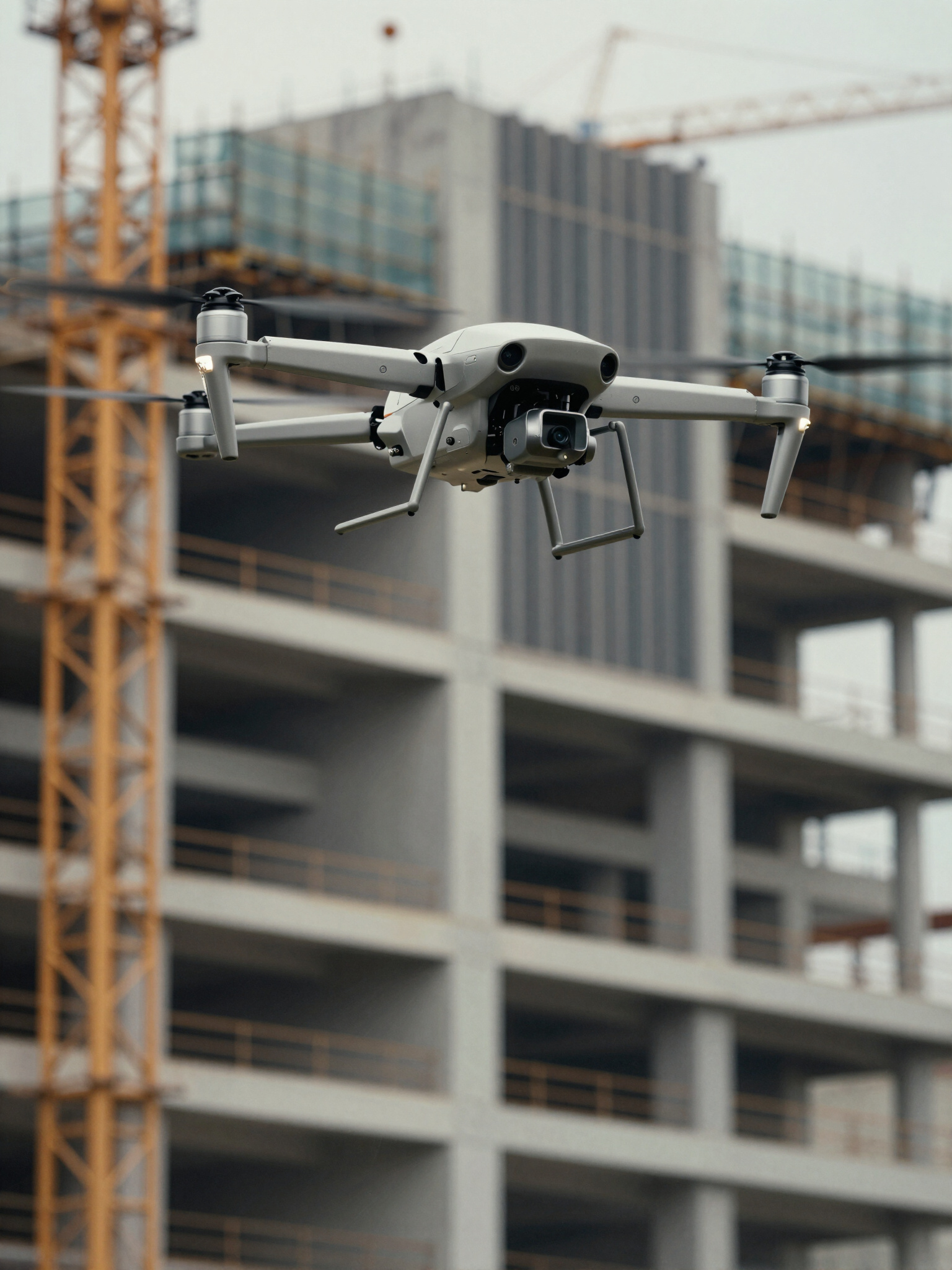
PRECISION INFRASTRUCTURE
We deliver data-rich topographic surveys and aerial inspections for large-scale construction, ensuring project timelines remain secure through high-fidelity visualization and volumetric analysis.
ECOSYSTEM MONITORING
We enable advanced environmental monitoring by capturing multispectral imagery, providing crucial insights for habitat restoration, vegetation mapping, and long-term ecological health assessments.
GROUP 2 MILITARY ISR
ADVANCED OPERATIONAL INTELLIGENCE
We deliver specialized airborne surveillance services, utilizing Group 2 UAV systems for high-stakes intelligence and inspection. Our aerial platforms are engineered for endurance and tactical precision, providing real-time results for military ISR missions and industrial monitoring requirements.


